LiDAR


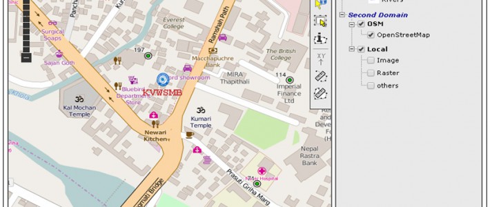
Recently we launched web gis application of Kathmandu Valley Water Supply Management Board for monitoring the well and its detail information with in Kathmandu Valley.


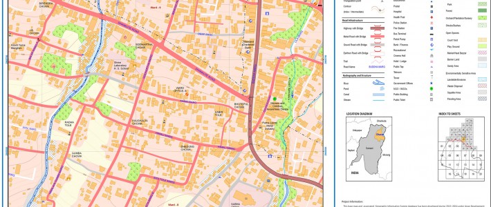
This project enroll to prepare GIS based urban map and database at 1:2500 scale with 1m contour in urban areas, and 1:5000 scale map in other areas with 5m contour. Similarly developing and establishing a metric addressing system for effective